
Aviation and meteorological systems
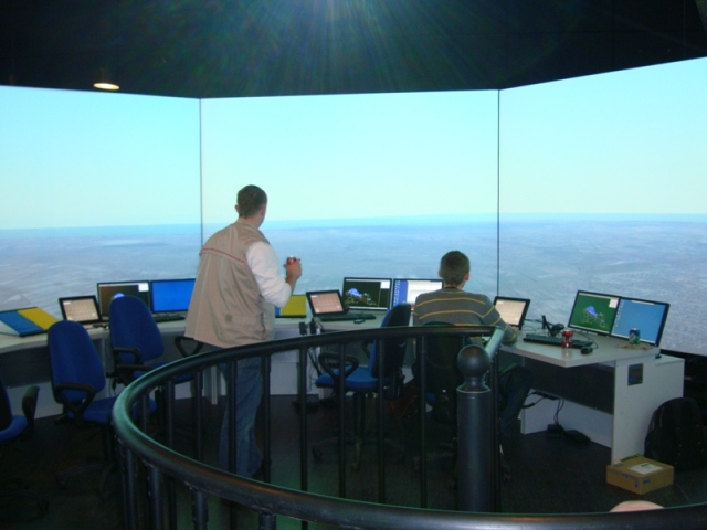
AWOS Systems (Automated Weather Observation System)
The Automated Weather Observation System (AWOS) is a system used to observe weather conditions at regional, domestic, and international airports.
The AWOS system measures, processes, stores, displays, and transmits all meteorological data from the airport: measurements from various meteorological sensors, manual observations, and WMO codes received from the GTS and AFTN networks. It provides weather data to observers, air traffic control, pilots, and other users in the form of real-time displays, charts, WMO codes, alerts, and voice announcements. It interfaces with upper-air measurement systems, low-level wind shear warning systems, and radars.
ARWIS Systems (Airport Runway Weather Information System)
The ARWIS system provides airport authorities with the necessary data on the condition of the runway surface. Using real-time measurements collected by field sensors and forecasts from an integrated model, the system detects and predicts the condition of the runway surface to support decision-making regarding maintenance activities and to report runway condition information in a standardized manner.
Detected and/or manually observed runway conditions are converted using the Runway Condition Assessment Matrix (RCAM) to a runway condition code (RWYCC ranging from 0 to 6) and disseminated in the form of a runway condition report, thereby ensuring the system’s compliance with ICAO Annex 14 and ICAO Document No. 9981 (GRF implementation), effective as of November 5, 2020.


Lightning detection systems
The lightning warning system at airports is a solution designed to mitigate the greatest threat posed by severe weather conditions to airport operations.
The automatic weather observation system—that is, the airport lightning warning system—combines the operation of a standalone lightning detector with data from a lightning detection network, thereby leveraging the benefits of both technologies, which provide:
- detection of electrostatic fields and/or charged precipitation, enabling early warning even before clouds appear over the airport,
- detection of intra-cloud and cloud-to-ground lightning, identification of thunderstorm cells, and real-time weather forecasting
AWDSS
To provide air traffic controllers and meteorologists with accurate operational information, the AWDSS system processes real-time data from various sources: local AWOS, ARWIS, and LLWAS systems; weather radars; ground-based observations from the WMO/ICAO data exchange network; meteorological satellites; profilers; and so on.
A unified, network-centric, and integrated picture—seamlessly combining all weather data sources relevant to aviation—will enable various users at the airport to access all relevant information and achieve the shared situational awareness necessary to support tactical decisions during the various phases of flight:
- Takeoff
- Departure
- Traffic Control/Descent
- Final Approach
- Landing
Using state-of-the-art algorithms and models, the system assesses the overall situation and generates alerts for a specific area, airport, individual stakeholders, and runways, utilizing color-coded status indicators to visualize potential hazards and displaying actions (recommendations) intended for specific stakeholders related to a given weather hazard.
The current as well as the forecasted operational situation (short-term, medium-term, and long-term forecasts) can be characterized using warnings about safety-threatening phenomena, the current/forecasted operational category of the airport/ runway, the NATO color code, or in another manner consistent with the operational procedures of the airport in question.


RVR (Runway Visual Range)
The Runway Visual Range system performs the automated runway visual range assessment and reporting to the airports.
The typical set of RVR field measurement system consists of forward scatters, background luminance sensors as well as interfaces to runway lights systems. Multiple types of sensors and communication interfaces are supported.
The data processing software enables any standard or non-standard combination of sensor positions along the runways, hot backup of the sensor values, and manual data entry. For each sensor type, the evaluation and visualization of the sensor status, as well as remote maintenance, is provided.
 English
 polski